Discover
The Ruhr Area GeoPark represents a cultural and natural landscape and adventure area. Visitors are invited to discover geosites, georoutes, geotrails, visitor centres, museums, industrial heritage sites and current mining places. If you are planning an excursion, you are welcome to ask for support by the geopark team.
Information boards, designed by the GeoPark Ruhrgebiet, are written in german language but mostly provided with a short summary in english language.
Interactive map
GeoRoute Ruhr: red
GeoRoute Lippe: blue
Geo- und Miningtrails: purple
Bike-trails: light blue
Zoom to see all sites!
Geosites
Geosites
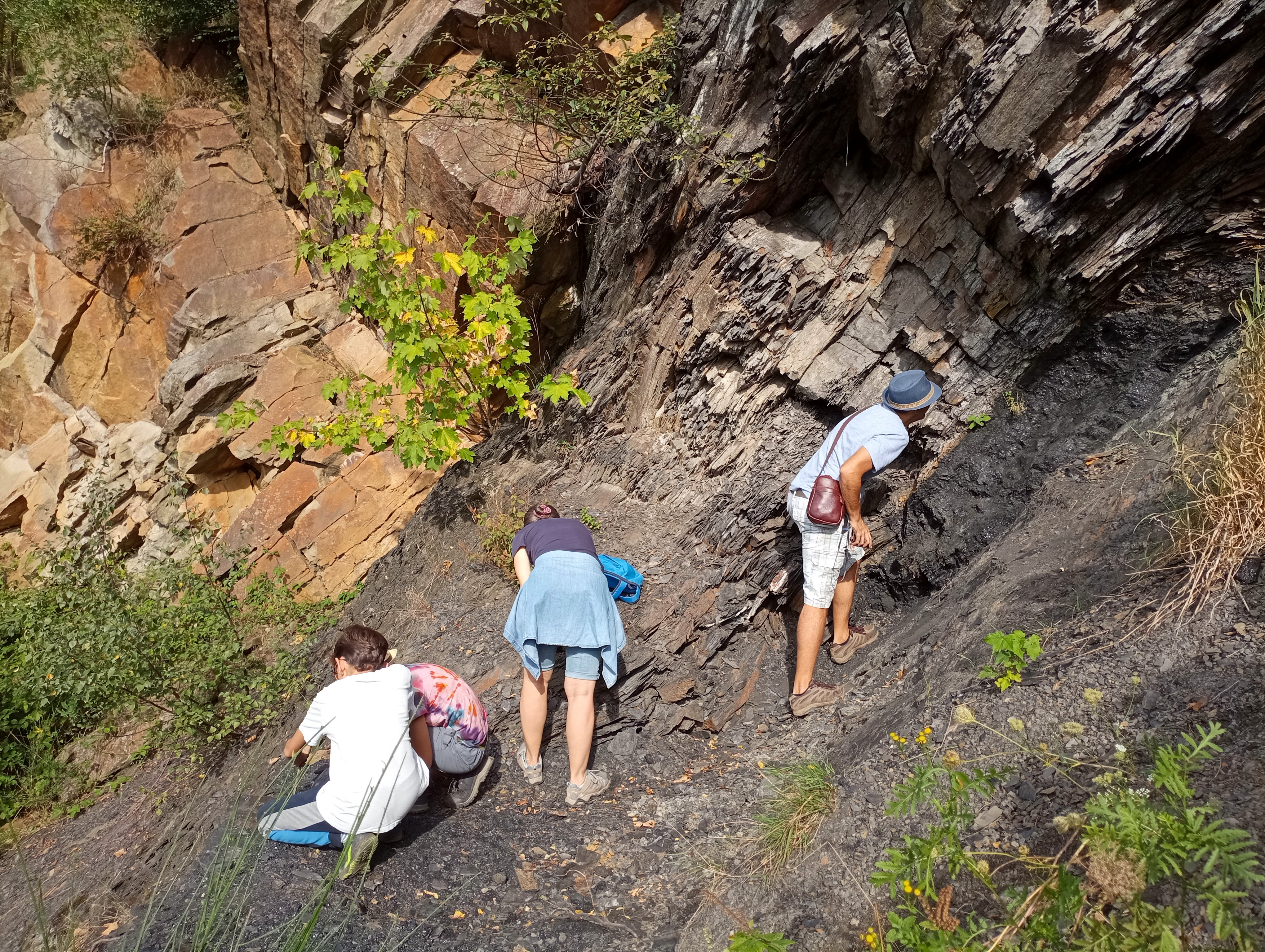
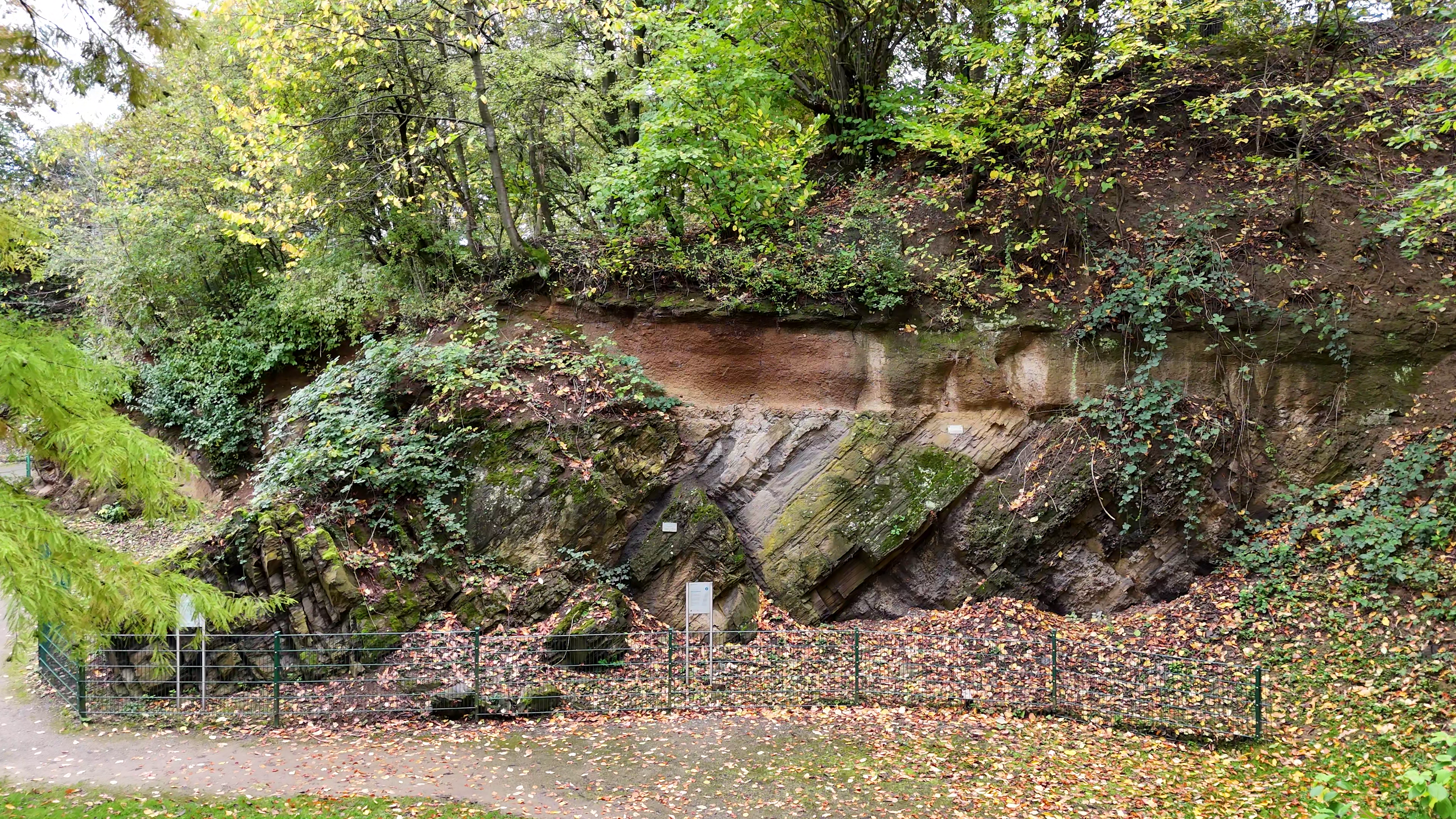
More than 100 geotopes can be visited in the GeoPark Ruhrgebiet. Geotopes are natural objects, deserving protection. They are communicating knowledge about the development of the earth and the evolution of life. They comprise:
Natural objects like cliffs, erratic blocks, springs and caves
Parts of the landscape like karst areas, dune fields and thrust moraines
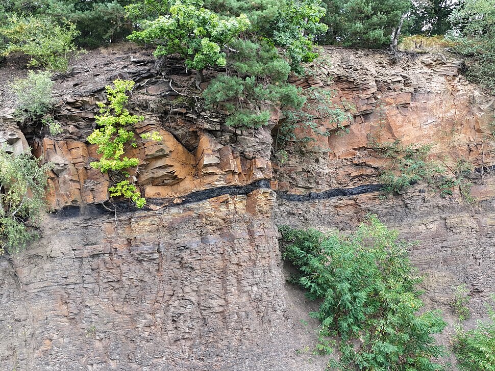
Visible rock beds and places of discovery for fossils like quarries, mining tunnels and escarpments
Special Geosites are the visitor mines and the visitor caves in the GeoPark.
Five of the geosites have been officially honoured as “National Geotopes” by the German Academy of Geosciences:
- the Muttental near Witten with remains of historical coal mining and the Nightingale Mine (Westphalian Museum of Industry)
- the Vorhalle-Quarry in Hagen with spectacular rock folds and place of discovery of some of the oldest winged insects worldwide
- the rugged karst landscape of the Felsenmeer in Hemer
- the exposure of the Variscan unconformity in the Geological Garden in Bochum
- Klutert Cave in 2017 was established as one of three „National Natural Monuments“ in Germany
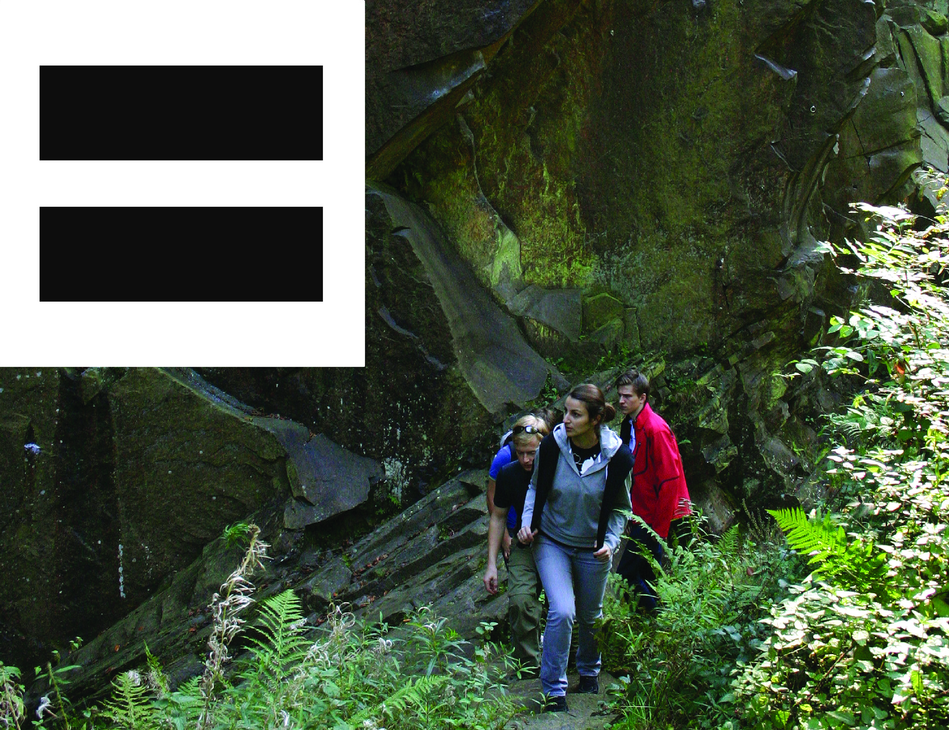
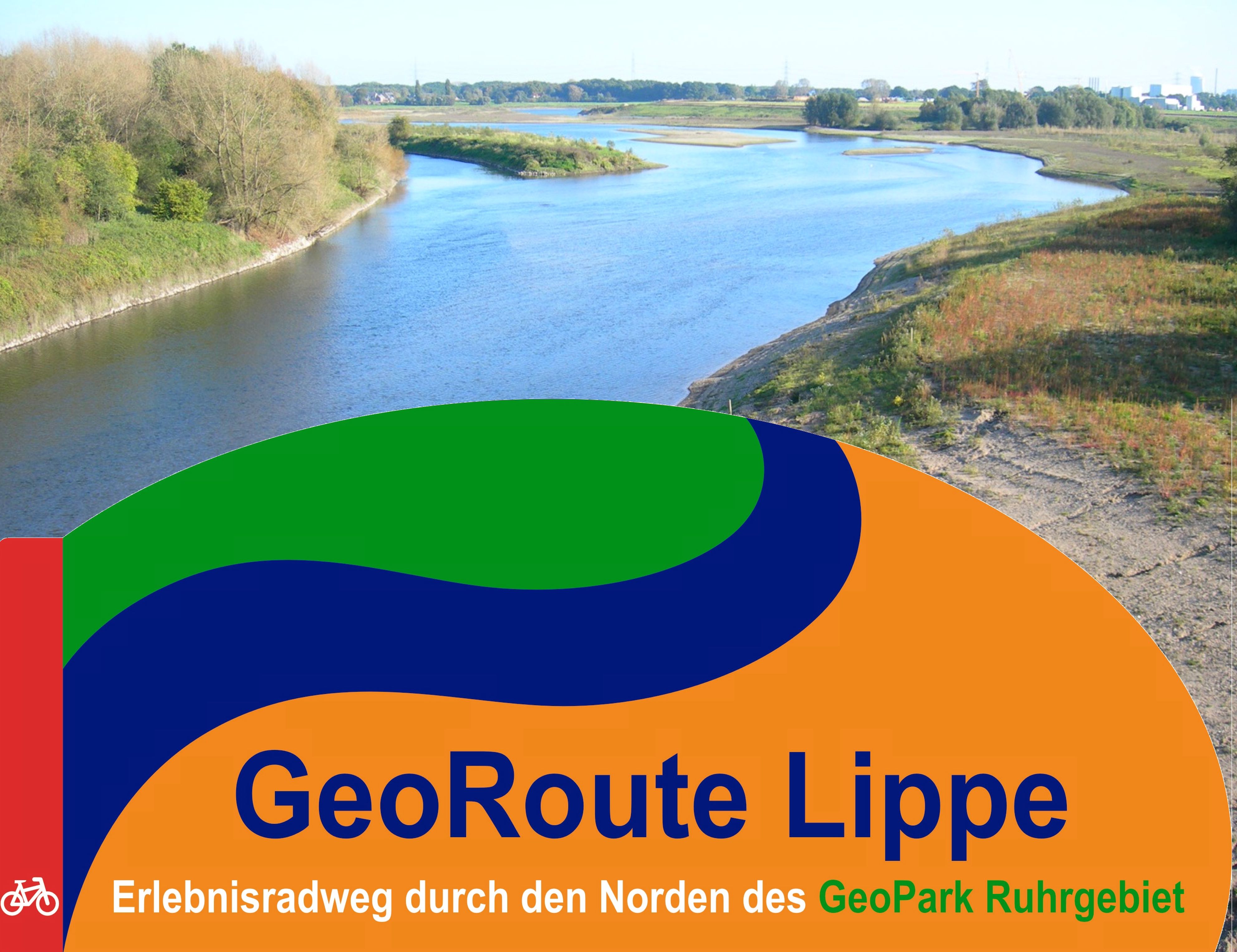
Geotrails and GeoRoutes
Geotrails and GeoRoutes
The GeoPark Ruhrgebiet can be cross walked on the GeoRoute Ruhr, a trail with a length of 185 km in the southern part of the GeoPark area. In the northern part of the area bicycle riders may cross-ride the GeoPark on the GeoRoute Lippe, that has a length of 300 km. Besides, there are several local trails, where geology and mining history are communicated.

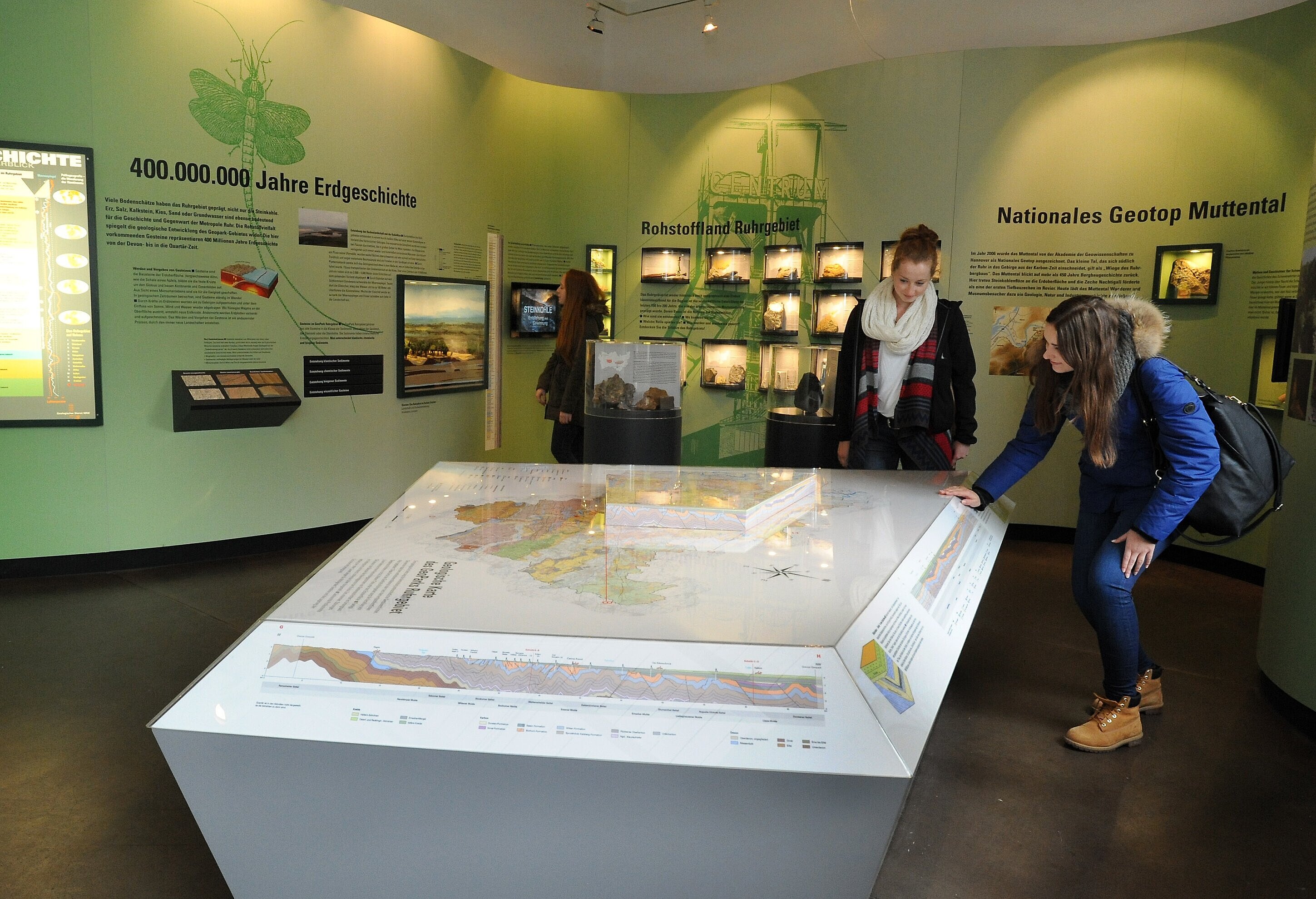
Information Centers
Information Centers
The GeoPark Ruhrgebiet includes three information centers, where visitors are informed about regional geology and the offers oft the GeoPark Ruhrgebiet. The information center in Witten priorizes the development and ressources of hard coal. The information center in Ennepetal spezializes on karst and caves. The information center in Wesel lays a focus on the ice age.

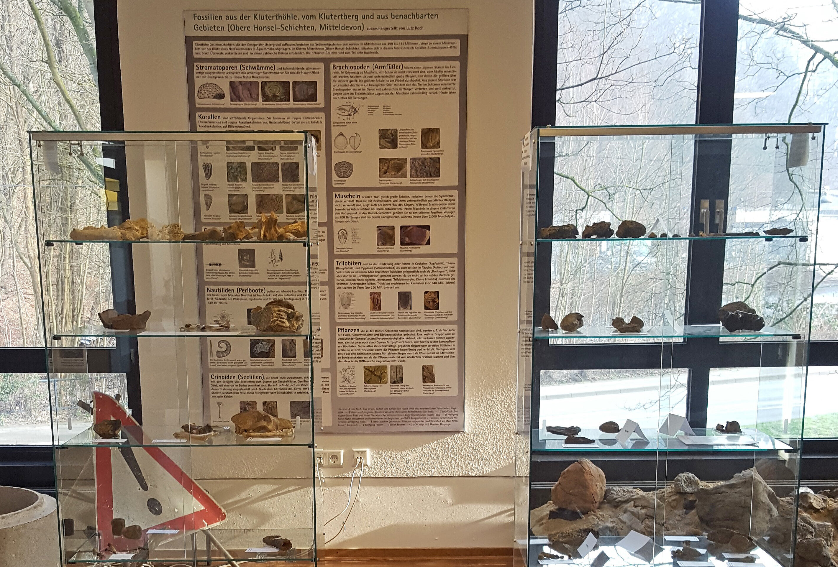
Museums
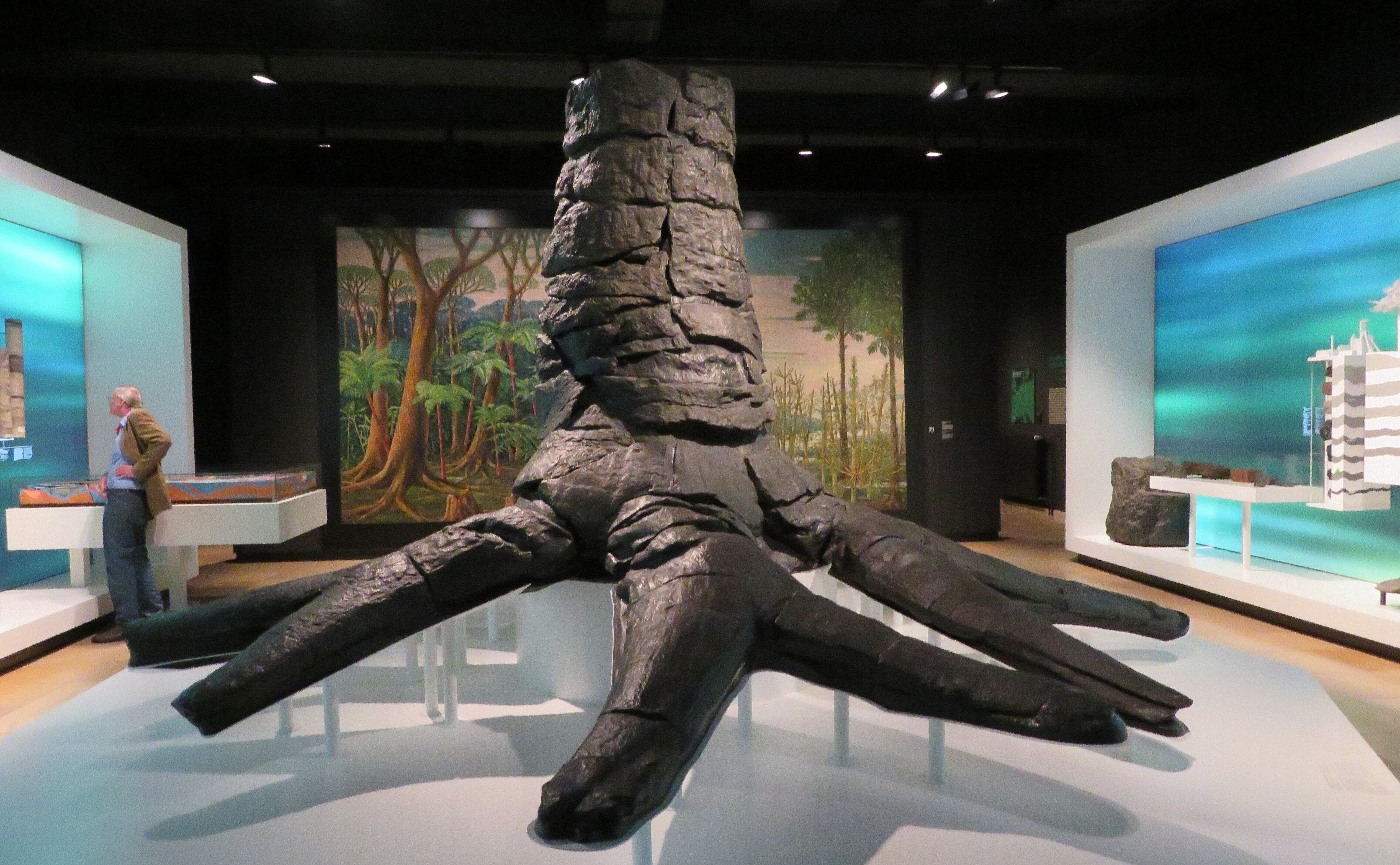
Museums
Many museums in the Ruhr Area have remarkable geological collections and deal with the topic of regional geology and mining history. Most of them offer programs for different target groups, like guided museum-tours and workshops.
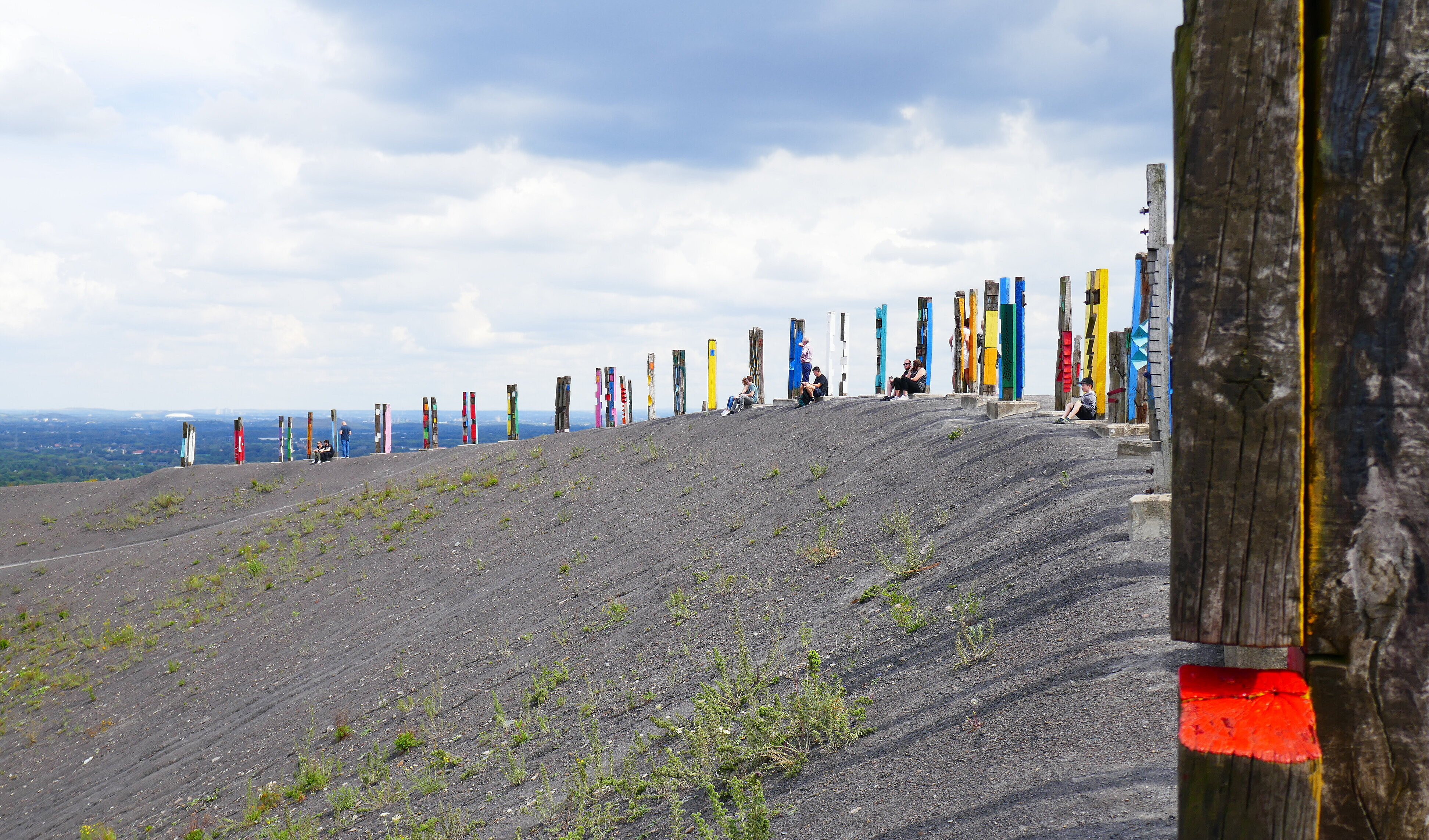
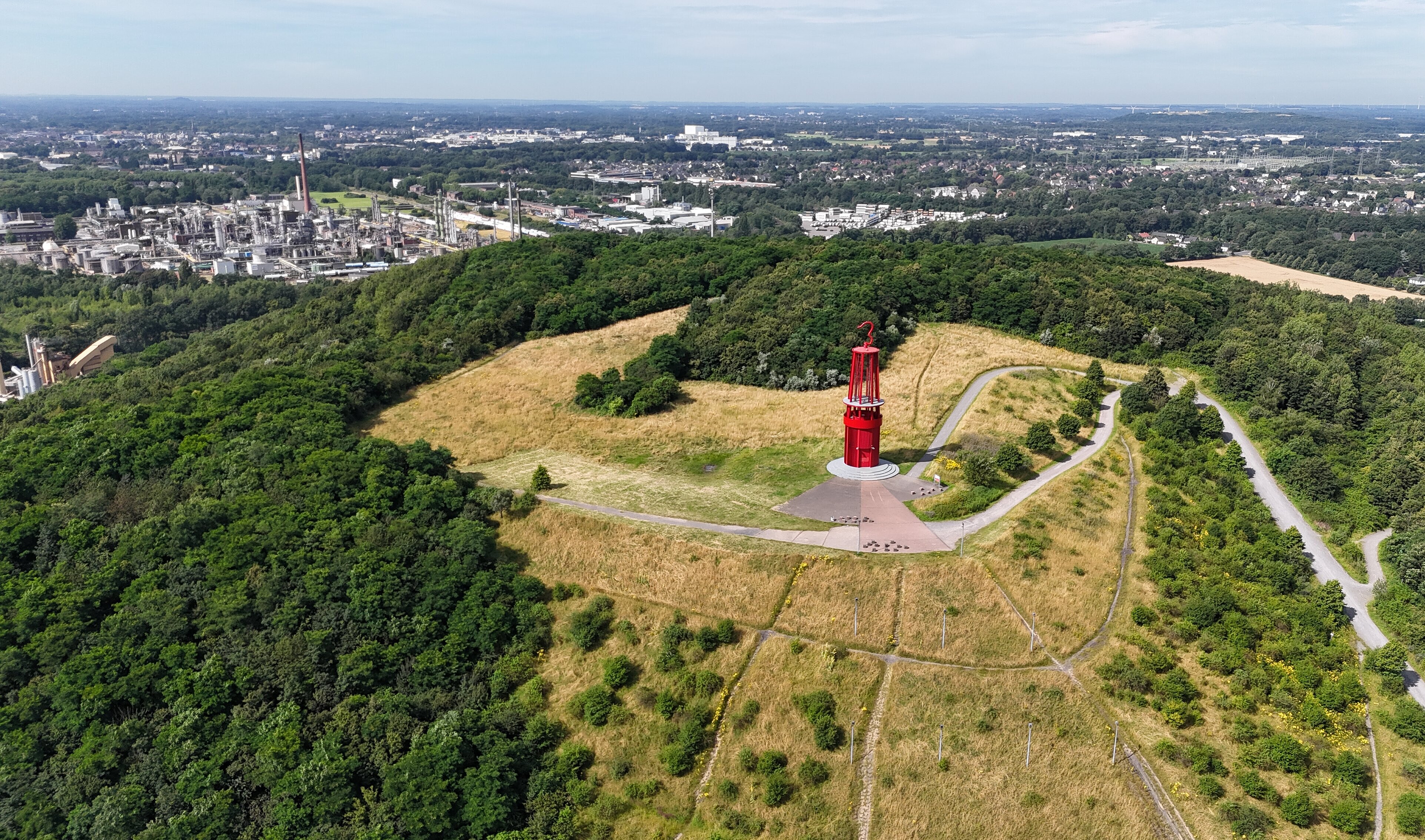
Mining spoil heaps
Mining spoil heaps
The northern part of the GeoPark Ruhrgebiet is naturally flat, but there are numerous mountains raising above the plain. Most of them are built of excavation material from former coal mines. Today the old mining spoil heaps are impressing landmarks and lookouts, used for various leasure activities. At some places the excavation material lies open at the surface. Here you can find fossils from the Late Carboniferous Age. There are more than 100 spoil heaps in the Ruhr Area. They are presented (in german) on the websites of the Ruhr Regional Association.
Education
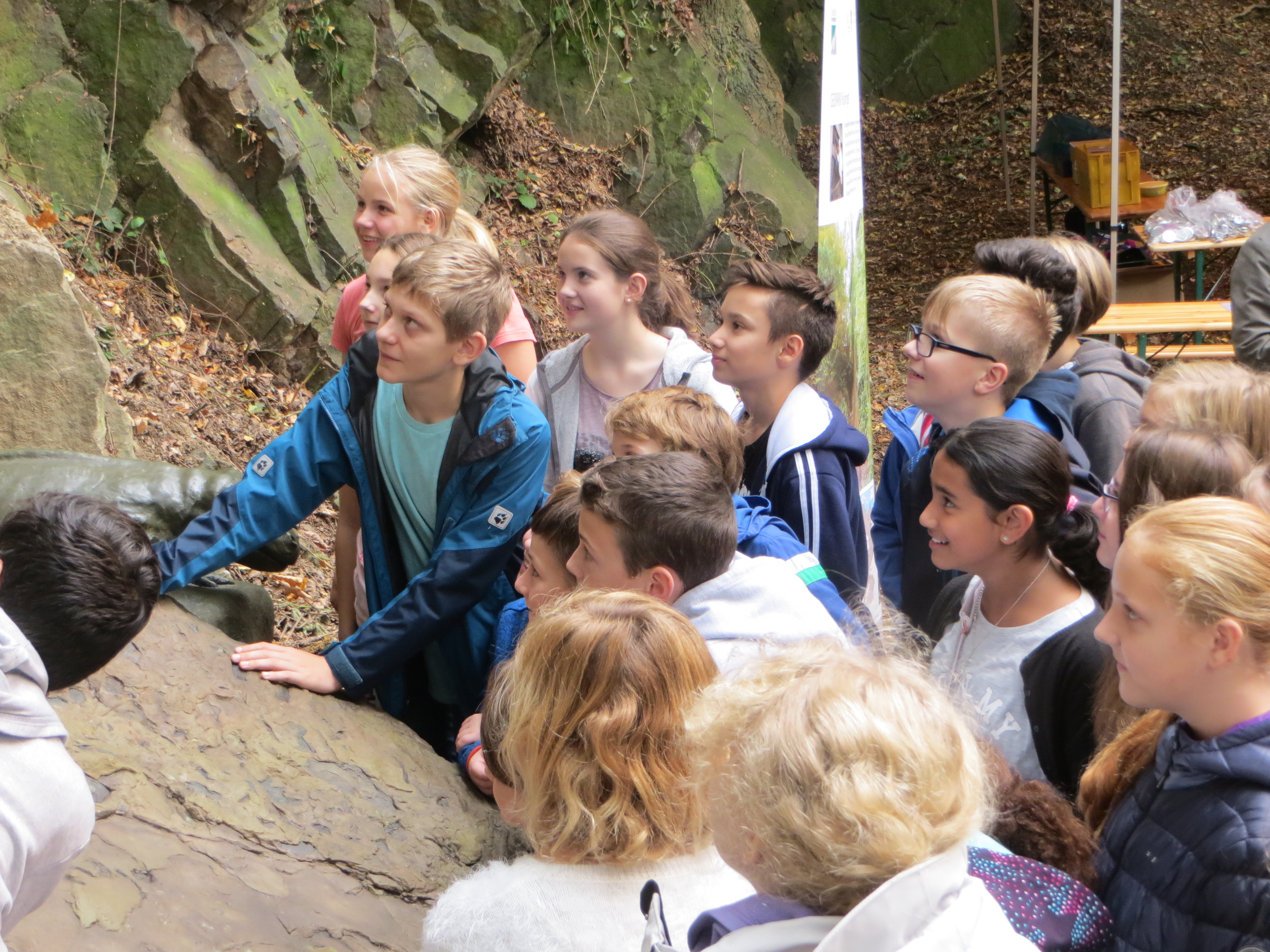
Education
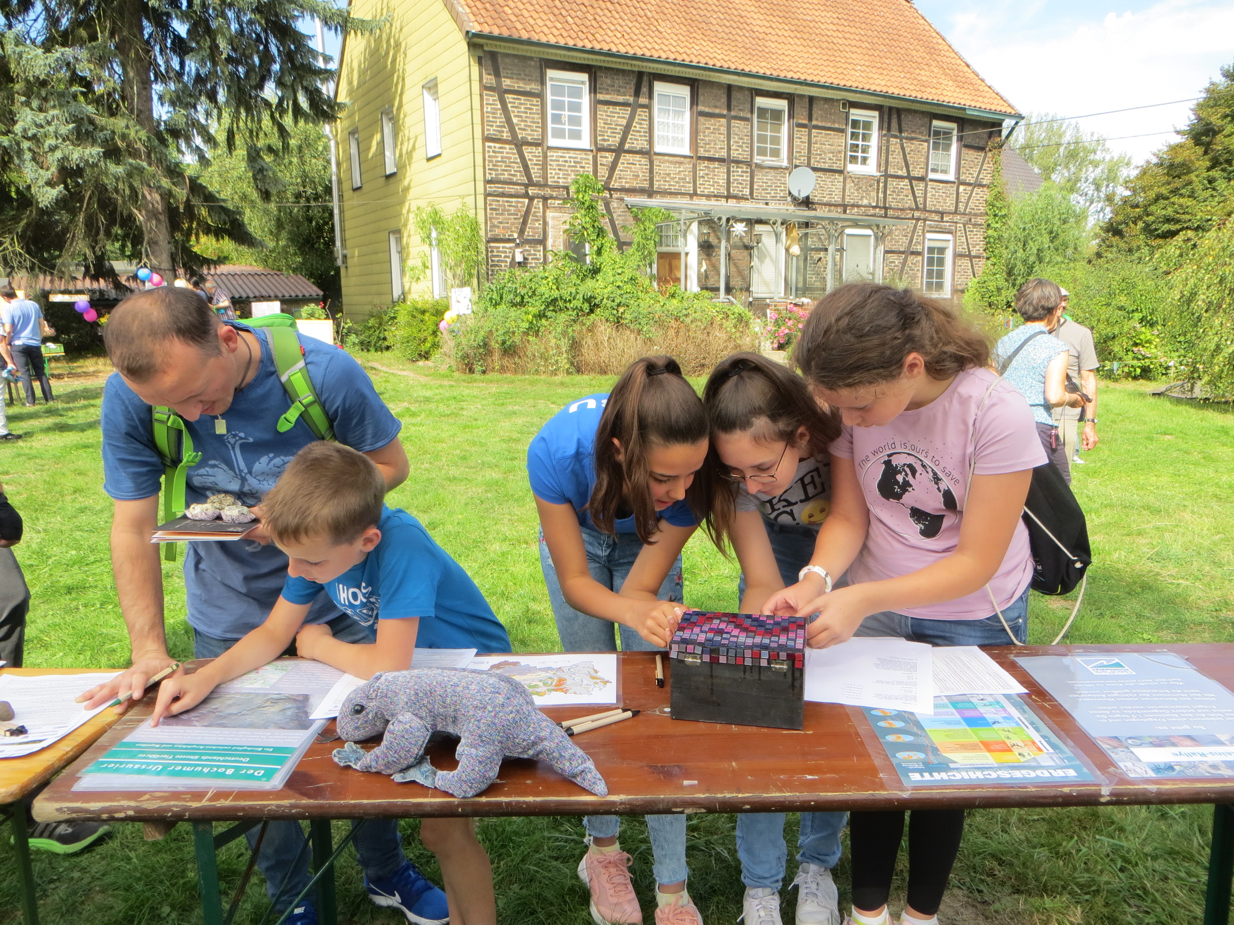
Numerous extracurricular learning locations offer programs for pre-school, primary and secondary education. They comprise environmental education, programs about mining and industrial history and educational offers for sustainable develoment. Many programs deal with geology, often in combination with mining history or industrial nature.
Publications
Publications
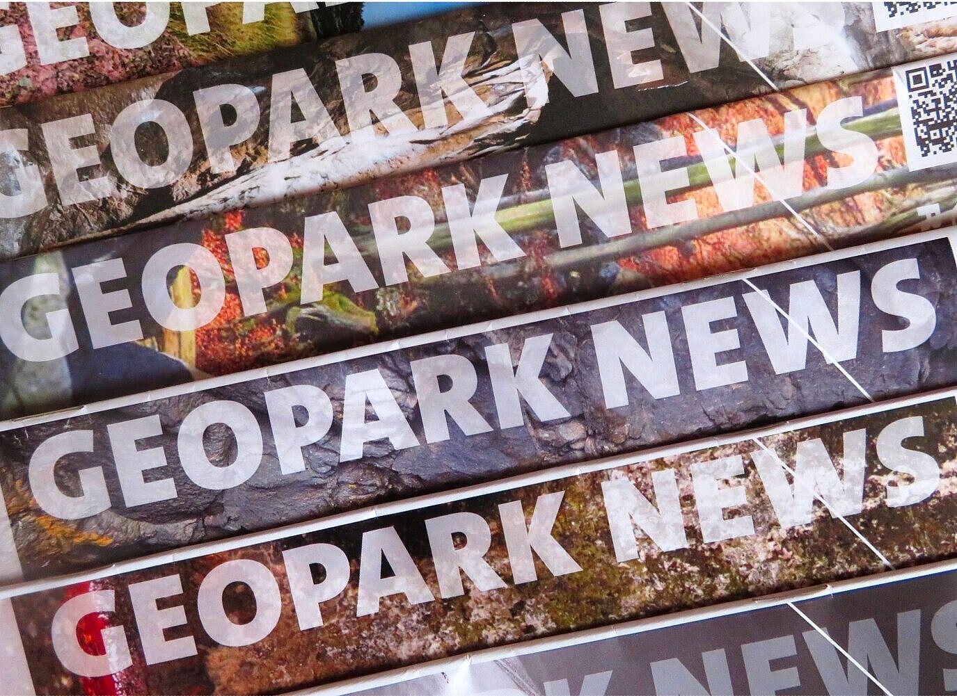
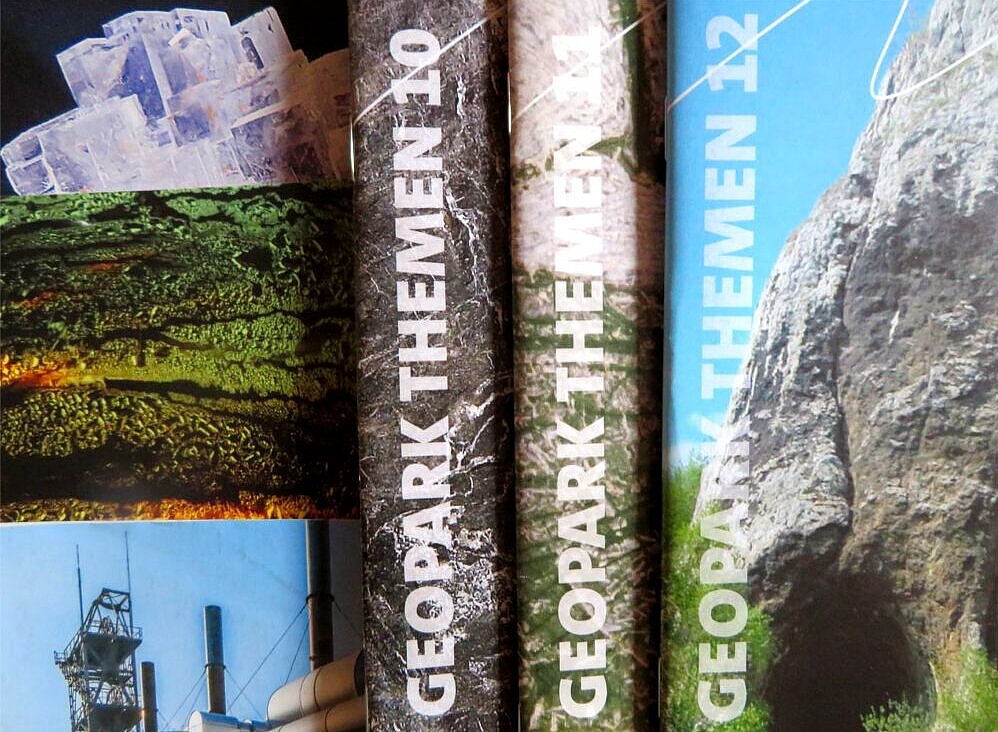
Once a year the GeoPark Ruhrgebiet publishes a newsletter, "GeoPark News". The "Themenhefte" series of booklets is issued at irregular intervals. The booklets are intended for interrested laymen, teachers or juveniles in the higher classes of secondary schools. Each of the booklets treats a special topic, like for example "Ice Age" or "Geothermal Energy". Furthermore geo-touristic guidebooks, scientific scriptures and material for children has been published by the GeoPark Ruhrgebiet. All publications are written in german language.