Ruhr Area National GeoPark
Experience Earth’s History – Explore the Landscape
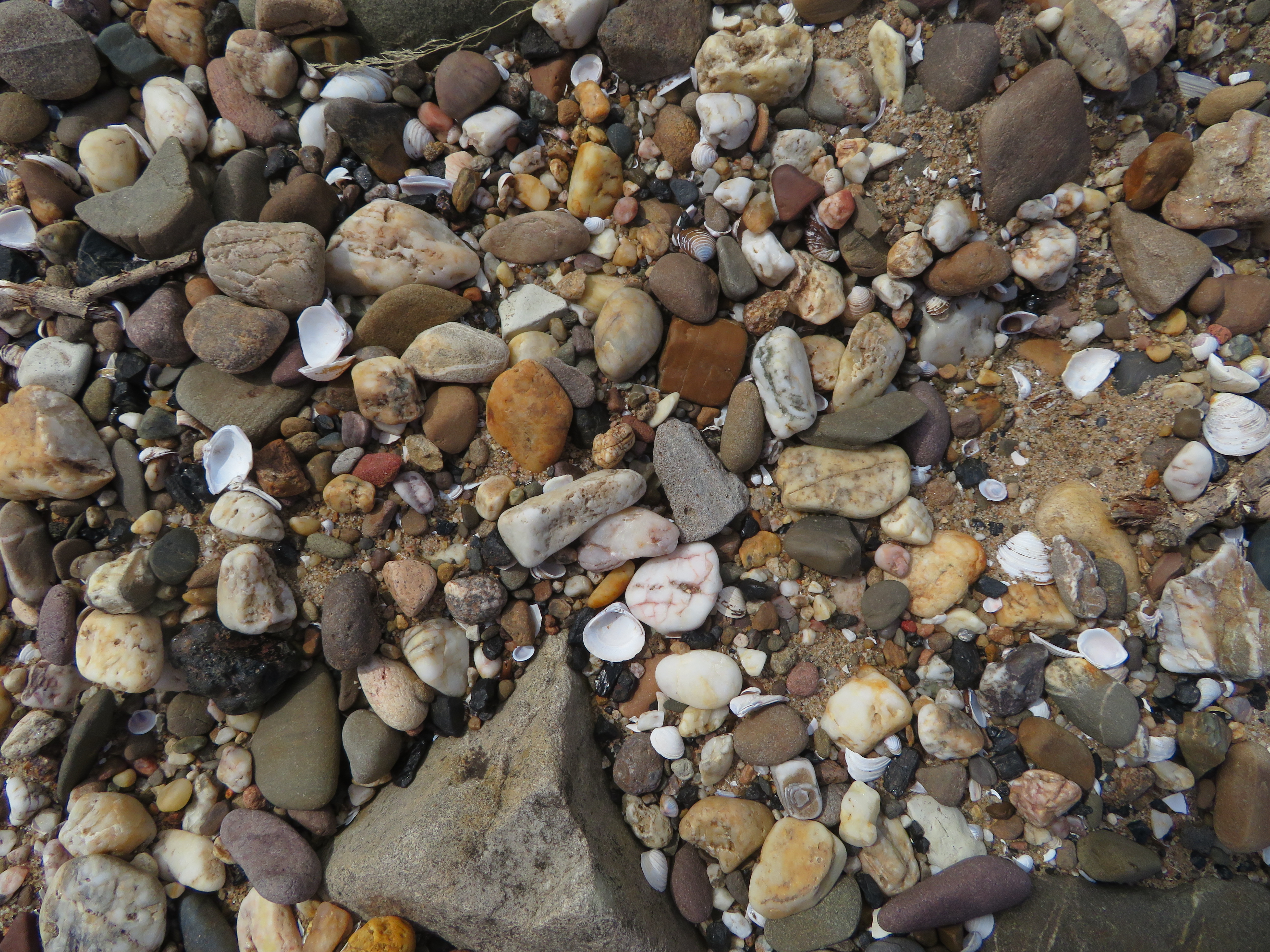
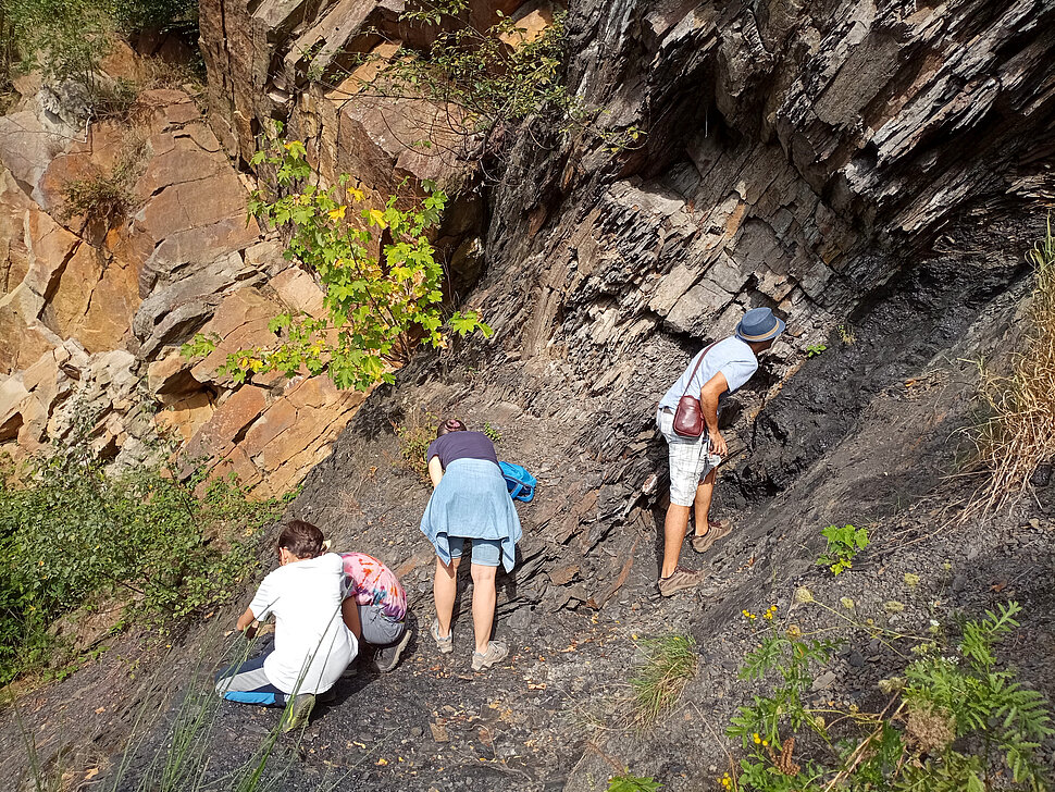
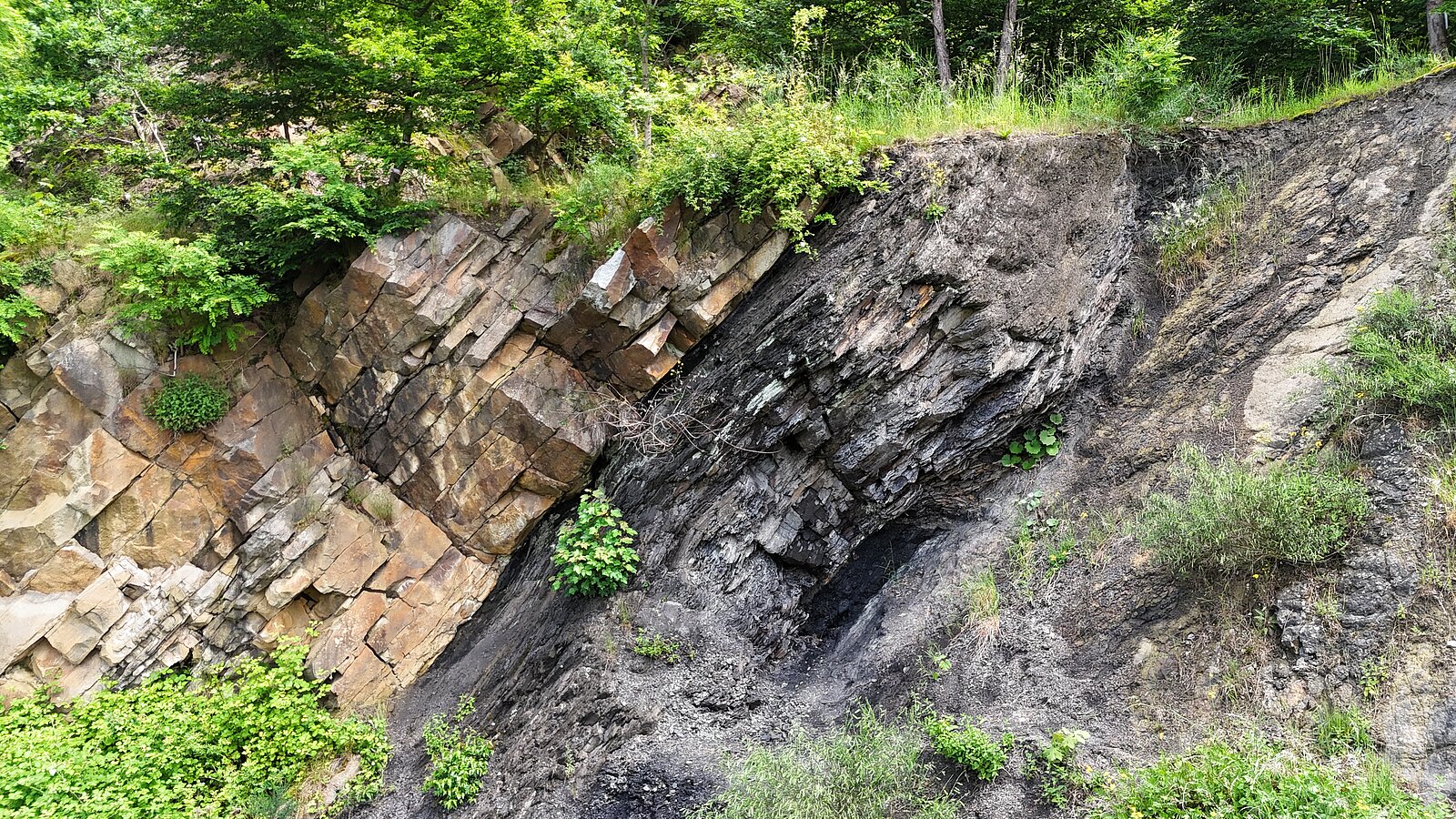
Coal seams, folds and fossils, spectacular views from mining spoil heaps, fascinating caves and traces of the Ice Age: all this is offered by the Ruhr Area GeoPark, the only geopark located in a metropolitan region. Here, 400 million years of the region’s geological history can be experienced, embedded in a landscape full of contrasts between the urban center and its rural surroundings. The Ruhr area was particularly shaped by hard coal mining. Mining trails, visitor mines, and historic colliery buildings bear witness to this past. However, other raw materials such as limestone, sand, gravel, salt, and ores are also found underground and have significantly influenced the development of the region.
More videos:
What is a geopark?
The GeoPark Ruhr Area is one of 19 certified National Geoparks in Germany. Geoparks are distinguished by their exceptional geological heritage and pursue the goal of preserving it while making it accessible and understandable to the public. They invite visitors on exciting journeys through time and demonstrate how today’s landscapes were formed and how geology has influenced the economic and cultural development of a region.
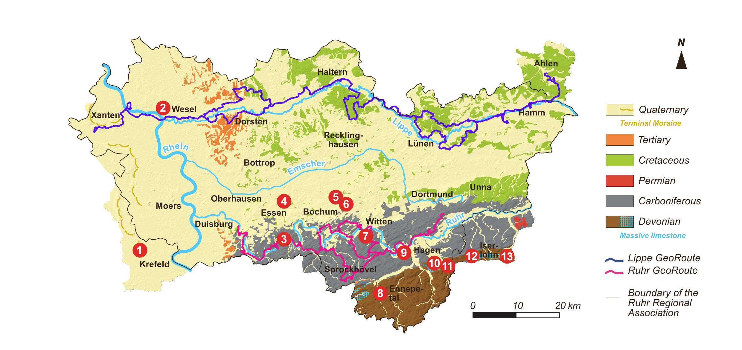
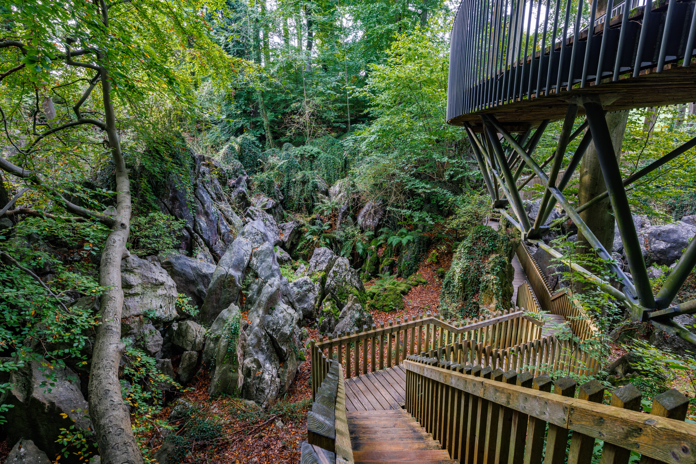
Various themed trails guide visitors through the region. In the south runs the hiking trail Ruhr GeoRoute, and in the north the cycling route Lippe GeoRoute. Geotopes and landscapes can also be explored along circular routes (GeoTrails). The GeoPark information centers in Witten, Ennepetal, and Wesel vividly present the Earth’s history and the geological features of their respective sub-regions.
1 - Hüls Hill GeoTrail in Krefeld
2 - GeoPark Information Center at the LVR-Niederrheinmuseum Wesel
3 - Lake Baldeney GeoTrail in Essen
4 - UNESCO World Heritage Site Zollverein with the Ruhr Museum and GeoPark information station in Essen
5 - Deutsches Bergbau-Museum Bochum (German Mining Museum Bochum)
6 - National Geotope Geological Garden in Bochum
7 - National Geotope Muttental and LWL Museum Nightingale Colliery with visitor mine and GeoPark Information Center in Witten
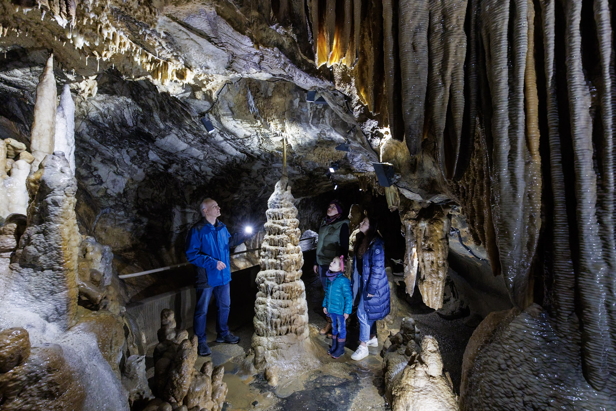
8 - National Geotope and National Natural Monument Klutert Cave with GeoPark Information Center in Ennepetal
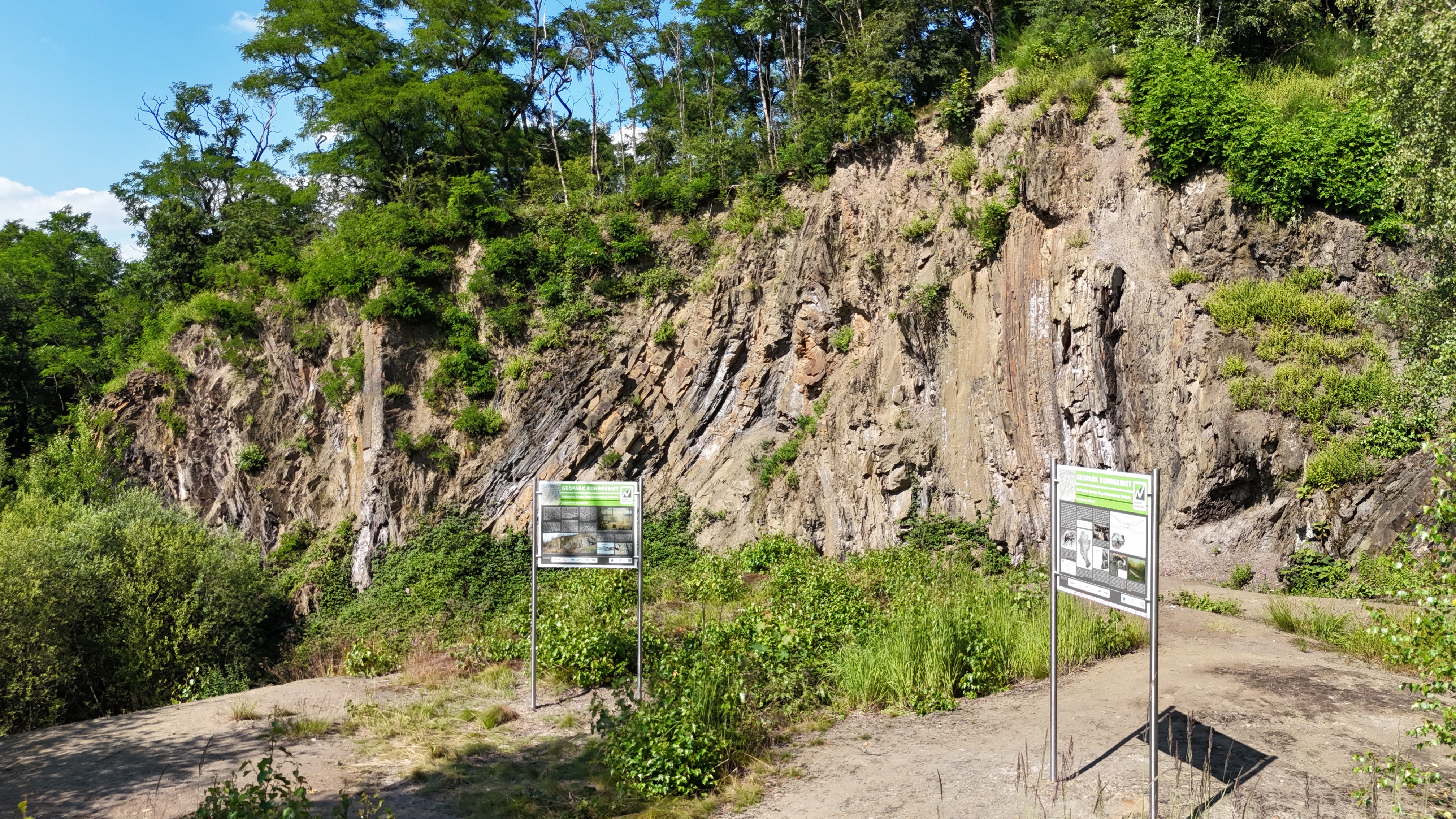
9 - National Geotope Vorhalle Brickworks Quarry and Kaisberg GeoTrail in Hagen
10 Weißenstein GeoTrail in Hagen
11 Steltenberg GeoTrail in Hagen
12 Dechen Cave and German Cave Museum in Iserlohn
13 National Geotope Felsenmeer, Heinrich Cave und Sundwiger Schätze” GeoTrail in Hemer
More Information
More Information
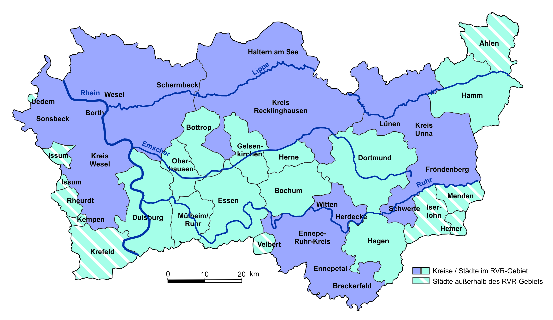
The Regional Association Ruhr is the responsible body for the National Geopark Ruhrgebiet.
Membership in the Geopark Ruhrgebiet Support Association "Förderverein GeoPark Ruhrgebiet e. V.) is open to individuals and institutions interested in geotope protection and geotourism, which supports the activities and projects of the National Geopark Ruhrgebiet.
Cities and Districts in the Ruhr Area GeoPark
National GeoPark
The Ruhr Area GeoPark was designated as a National GeoPark in 2006. National GeoParks are certified by the GeoUnion/Alfred-Wegener-Stiftung on behalf of the Joint Committee of Federal and State Geological Surveys (BLA-GEO). A key requirement is that they possess a unique selling point among German GeoParks and present geological sights to the public in an attractive manner.
The Ruhrgebiet Geopark is a member of the following associations:
Arbeitsgemeinschaft deutscher GeoParks (AdG)
Fachsektion Geotope und GeoParks (Deutsche Geologische Gesellschaft - Geologische Vereinigung e.V.)
There is a cooperation agreement with the